UN
66 Elmbridge
£ 98,500
Description
We don't have a Description for this property.
- Bedrooms
- 4
- Bathrooms
- 0
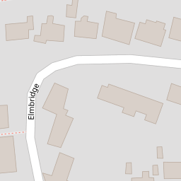
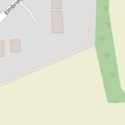

Leaflet © OpenStreetMap contributors
The heatmap indicates the level of crime in the area. The color of the heatmap indicates the crime severity and recency.
Metrics Year-on-Year
- Average area value
- 326,186.00 £Increased by 7.70 %
- Average area rental value
- 1,128.00 £/moDecreased by 9.62 %
- Est rental Yield
- 4.15 %Decreased by 15.99 %
- Crime Rate
- 8.00 %Unchanged by 0.00 %
from 302,867.00 £
from 1,248.00 £/mo
from 4.94 %
from 8.00 %
Nearby Schools
| Name | Type | Ofsted | Distance |
|---|---|---|---|
| Churchgate Church Of England Voluntary Aided Primary School, Harlow | Voluntary Aided School | Good | 0.29 KM |
| St Nicholas School | Other Independent School | 0.48 KM | |
| Harlowbury Primary School | Academy Converter | 1.23 KM | |
| Newhall Primary Academy | Free Schools | 1.69 KM | |
| Fawbert And Barnard'S Primary School | Academy Converter | 2.28 KM |
Images
Nearby Streets
| Name | Average Price | Average Sqft | Distance |
|---|---|---|---|
| Tawney Owl Lane | £ 300,000 | 0 | 0.00 KM |
| Harlow District Footpath 157 | £ 0 | 0 | 0.00 KM |
| Hubbards Hall Drive | £ 0 | 0 | 0.00 KM |
| Trefoil Lane | £ 0 | 0 | 0.00 KM |
| Currant Road | £ 0 | 0 | 0.00 KM |
Nearby Transport
| Name | NLC | TLC | Distance |
|---|---|---|---|
| Harlow Mill | 6804 | HWM | 2.49 KM |
| Sawbridgeworth | 6806 | SAW | 3.62 KM |
| Harlow Town | 6827 | HWN | 6.45 KM |
| Bishops Stortford | 6800 | BIS | 9.45 KM |
Nearby Listings
| Address | Price | Type | Score | Distance |
|---|---|---|---|---|
| Elmbridge, Old Harlow | £ 550,000 | BUY | 7 / 10 | 0.04 KM |
| Elmbridge, Old Harlow, Essex, CM17 | £ 420,000 | BUY | 5 / 10 | 0.05 KM |
| Elmbridge, Harlow, Essex, CM17 | £ 575,000 | BUY | 7 / 10 | 0.08 KM |
| Elmbridge, Harlow | £ 525,000 | BUY | 7 / 10 | 0.08 KM |
| Elmbridge, Harlow | £ 525,000 | BUY | 6 / 10 | 0.08 KM |
Nearby Properties
| Address | Price | Distance |
|---|---|---|
| 82 Elmbridge | £ 515,000 | 0.00 KM |
| 83 Elmbridge | £ 310,000 | 0.00 KM |
| 76 Elmbridge | £ 239,500 | 0.00 KM |
| 77 Elmbridge | £ 249,999 | 0.00 KM |
| 66 Elmbridge | £ 98,500 | 0.00 KM |